 Utility Specialist
Powered by Utility Specialists of America
Utility Specialist
Powered by Utility Specialists of America
The corridor, before your crews arrive.
Survey-grade 360° capture, drone verification and human review — the entire utility corridor as decision-ready data. Delivered fast, priced to move.
Field intelligence, delivered as a service — not software.
We collect the data, analyze it with AI, verify every asset through our review team, and hand your Outside Plant, Design and Engineering teams permit-ready information. No software to buy. No subscription. No learning curve.
We do the work. Your team gets permit-ready data.
One capture, a rigorous review, and deliverables packaged for the next team in line — with nothing new for your people to run.
We capture the corridor
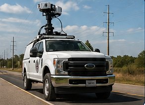
Truck-mounted 360° imaging and survey-grade RTK GPS document the entire corridor in a single pass — with drone support where the truck can't reach.
We analyze the data
AI identifies poles, attachments, vegetation, clearances and obstacles — then every asset is reviewed and confirmed by our experienced office team.
We deliver the results
Permit-ready imagery, pole inventories, asset reports, scope-of-work docs and engineering support deliverables — ready to use immediately.
One pass captures everything the corridor holds.
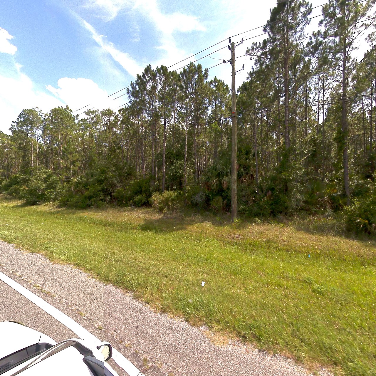
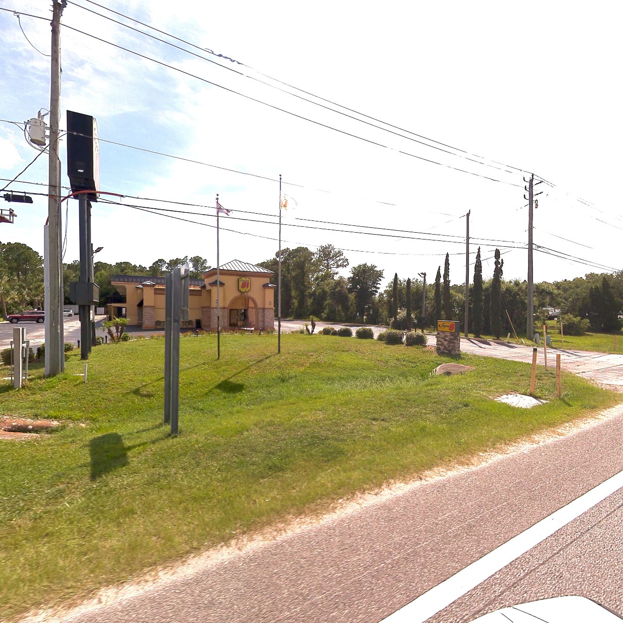
Vehicle-mounted 360° cameras sweep the roadside while drones map what's overhead — poles, attachments, vegetation and storm damage, all geo-located in a single drive.
Software that matches how utility work actually moves.
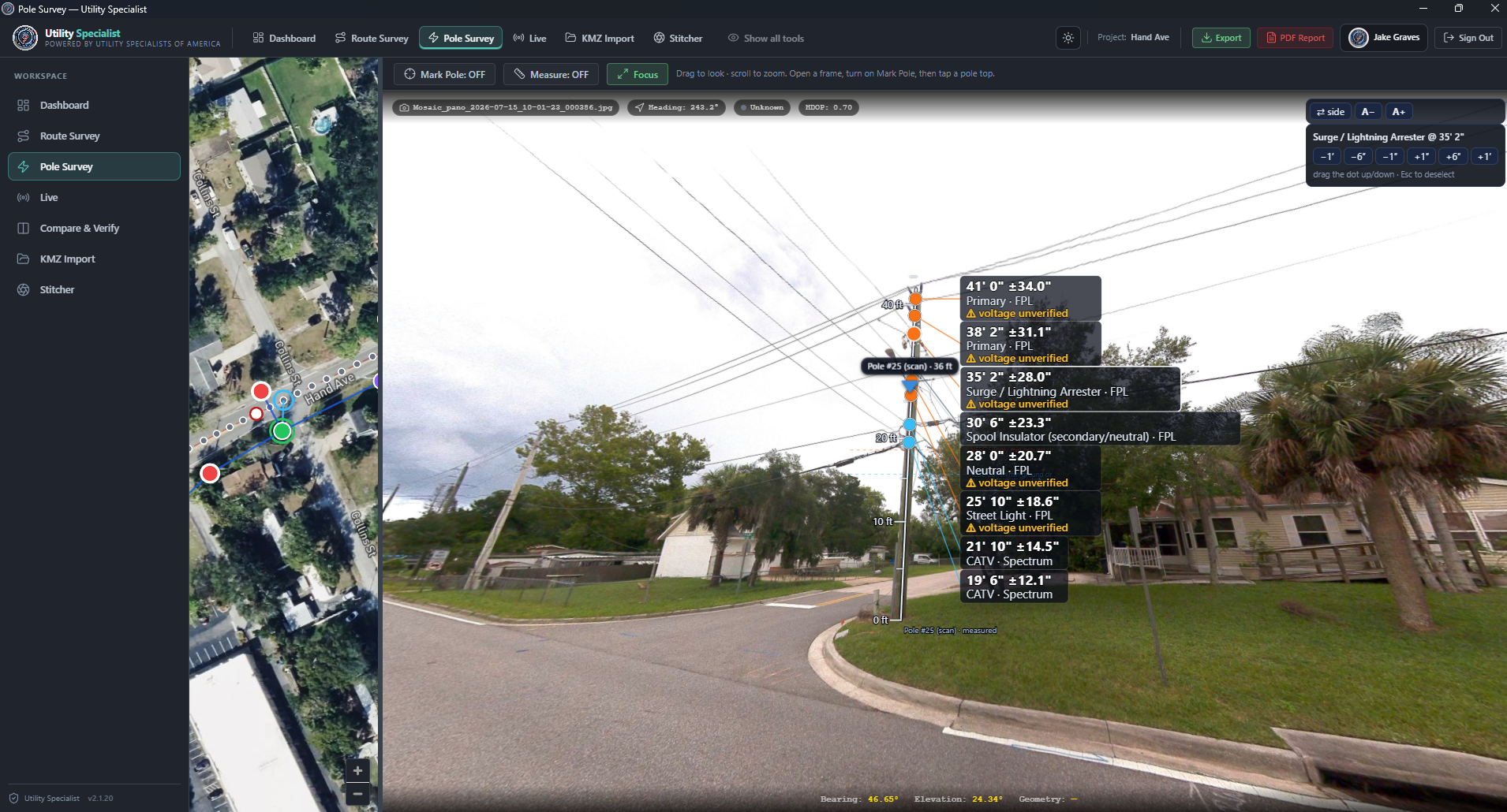
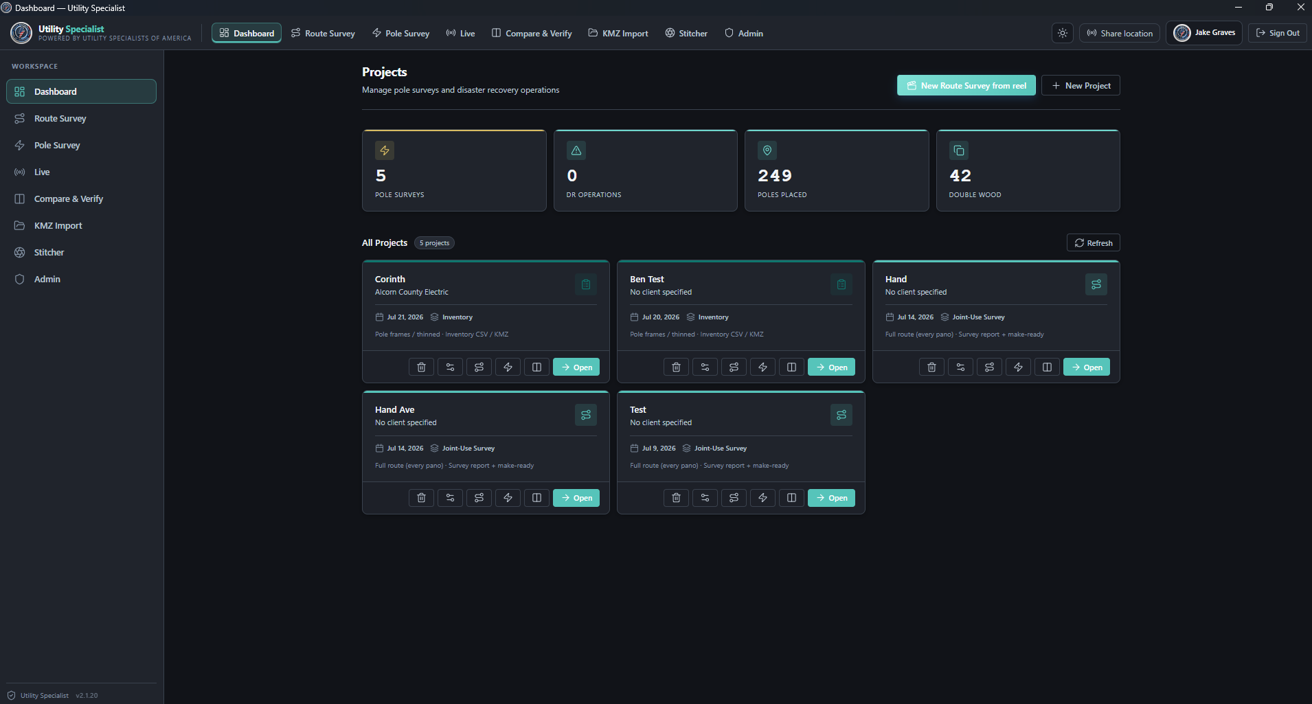
Open any captured pole and read every attachment — primary, neutral, streetlight, CATV — measured with survey-grade RTK equipment and verified by our staff, who bring 50+ years of experience in the telecom and utility sector. Browse routes like street-view, verify candidates, and export to virtually any deliverable your team needs.
One capture supports several utility outcomes.
The same corridor record feeds audits, make-ready planning, transfer verification, storm documentation and inventory reconciliation.
Joint-use attachment audits
Attachment inventory gaps, unauthorized attachments and pole-level evidence for revenue-recovery conversations.
Learn more →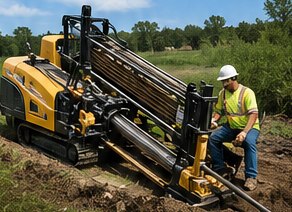
Fiber make-ready feasibility
Surface route constraints, marginal poles and loading-ready data before construction schedules harden.
Learn more →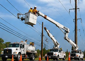
Compare & verify
Position-matched before-and-after imagery confirms transfers, removals and storm cleanup for close-out.
Learn more →Every deliverable points back to what was seen in the field.
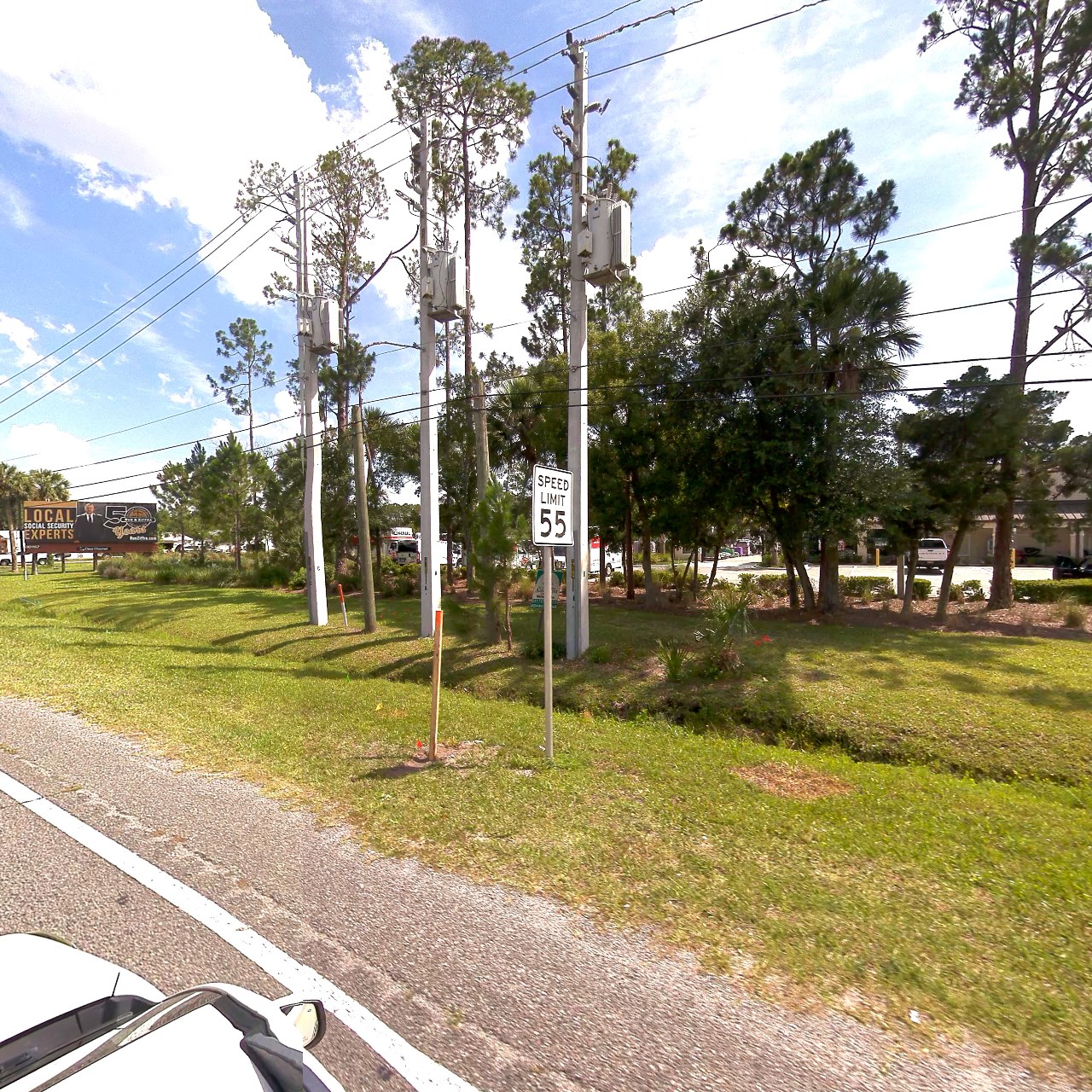
Imagery, position, time, project context and the human decision made against each flagged item — reviewable evidence, not loose photo folders.
Review the exception, not every inch twice.
AI-assisted candidate queues help reviewers focus on what matters. Every customer-facing output stays human-confirmed and packaged for operational use.
Accurate data that keeps projects moving.
Smarter data, smoother permits and successful builds — without adding a tool for your team to run.
Faster, more accurate permitting
Get permits approved right the first time with defensible, field-verified data.
Reduce revisions & delays
Eliminate the back-and-forth that slows projects before crews mobilize.
Build the right scope of work
Know exactly what exists in the field before crews ever arrive on site.
Lower costs & field labor
Reduce truck rolls, manual counts and unnecessary change orders.
Improve safety & planning
Arrive prepared with current, reliable data on every asset in the corridor.
Keep projects moving
Accurate data means on-time builds and permitting that holds momentum.

Ready to turn a corridor into a usable utility record?
Bring us a route, a punch list, a storm window or a make-ready question. We'll help shape the right capture and deliverable plan.